🌿 COP 30 - Building a Greener Tomorrow
The 30th UN Climate Change Conference (COP 30) is taking place in Belém, Brazil. Stay informed about global climate actions, negotiations, and live sessions from 10 – 21 November 2025.
Get Updates
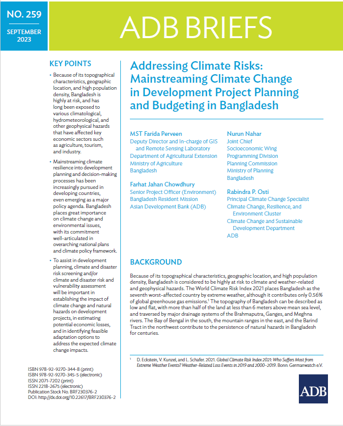
Addressing Climate Risks: Mainstreaming Climate Change in Development Project Planning and Budgeting in Bangladesh

Files
Date
January, 2024Author(s)
- MST Farida Perveen
- Farhat Jahan Chowdhury
- Nurun Nahar
- Rabindra P. Osti.
Abstract
Because of its topographical characteristics, geographic location, and high population density, Bangladesh is considered to be highly at risk to climate and weather-related and geophysical hazards. The World Climate Risk Index 2021 places Bangladesh as the seventh worst-affected country by extreme weather, although it contributes only 0.56% of global greenhouse gas emissions.1 The topography of Bangladesh can be described as low and flat, with more than half of the land at less than 6 meters above mean sea level, and traversed by major drainage systems of the Brahmaputra, Ganges, and Meghna rivers. The Bay of Bengal in the south, the mountain ranges in the east, and the Barind Tract in the northwest contribute to the persistence of natural hazards in Bangladesh for centuries.
Citation
D. Eckstein, V. Kunzel, and L. Schafer. 2021; World Bank Climate Change Knowledge Portal. Bangladesh (accessed 21 March 2023); World Bank Climate Change Knowledge Portal. Bangladesh (accessed 21 March 2023); G. N. T. Hasnat, M. A. Kabir, and M. A. Hossain. 2018; International Centre for Climate Change and Development. 2021; S. Gigli and S Agrawala. 2007; A. Olhoff and C. Schaer. 2010;
Publisher
Asian Development Bank
Rights Holder
Asian Development Bank
URI
https://knowledgehub.pksf.org.bd/collections/TW44NFZWWXF5eTRyNmk0LzBmTEpyQT09
