🌿 COP 30 - Building a Greener Tomorrow
The 30th UN Climate Change Conference (COP 30) is taking place in Belém, Brazil. Stay informed about global climate actions, negotiations, and live sessions from 10 – 21 November 2025.
Get Updates
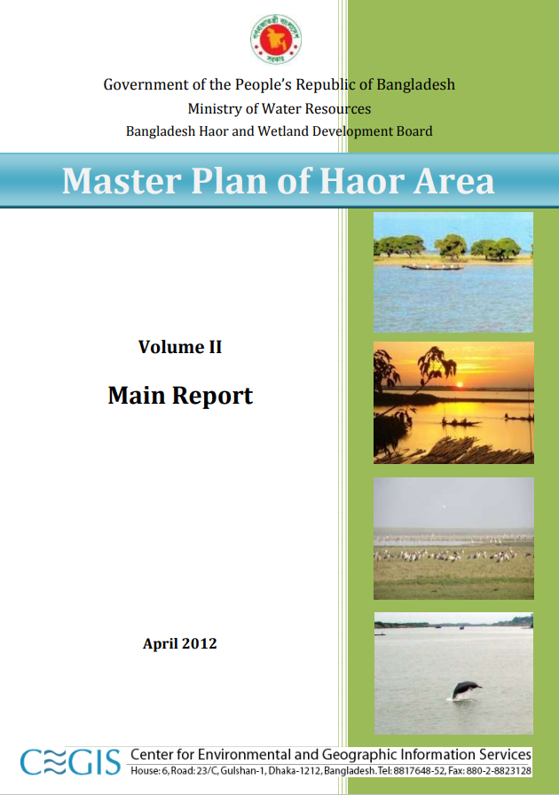
Master Plan of Haor Area; Volume II

Files
Date
January, 2024Author(s)
- GOVERNMENT OF THE PEOPLE’S REPUBLIC OF BANGLADESH
- Ministry of Water Resources
- Bangladesh Haor and Wetland Development Board
Abstract
Haor with their unique hydro-ecological characteristics are large bowl shaped floodplain depressions located in the north-eastern region of Bangladesh covering about 1.99 million ha (19,998 sq. km.) of area and accommodating about 19.37 million people. There are 373 haor/wetlands located in the districts of Sunamganj, Habiganj, Netrakona, Kishoreganj, Sylhet, Maulvibazar and Brahmanbaria. These 373 haor cover an area of about 858,000 ha which is about 43% of the total area of the haor region. It is a mosaic of wetland habitats including rivers, streams, canals, large areas of seasonally flooded cultivated plains and beels. This Master Plan is a framework plan for developing the haor region through optimal utilisation of natural and human resources for the next 20 years (up to 2032). The Plan has been formulated following the principles of the Integrated Water Resource Management (IWRM). This is a definite framework plan for the integrated development of haor area thereby ensuring preservation of haor, wetlands and their ecosystem. It will be implemented on the short, medium and long term basis with provision for updating and incorporating rationale changes in demand and land use.
Citation
Government of the People’s Republic of Bangladesh;Ministry of Water Resources;Bangladesh Haor and Wetland Development Board
Publisher
Government of the People’s Republic of Bangladesh;Ministry of Water Resources;Bangladesh Haor and Wetland Development Board
Rights Holder
Government of the People’s Republic of Bangladesh;Ministry of Water Resources;Bangladesh Haor and Wetland Development Board
URI
https://knowledgehub.pksf.org.bd/collections/ajB4eGk1dnRmSnFZVEtPcGFBdEVVQT09
