🌿 COP 30 - Building a Greener Tomorrow
The 30th UN Climate Change Conference (COP 30) is taking place in Belém, Brazil. Stay informed about global climate actions, negotiations, and live sessions from 10 – 21 November 2025.
Get Updates
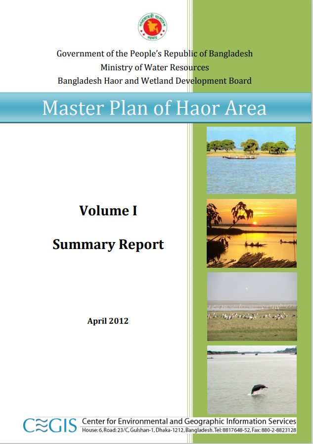
Master Plan of Haor Area;Volume I

Files
Date
April, 2012Author(s)
- GOVERNMENT OF THE PEOPLE’S REPUBLIC OF BANGLADESH
- Ministry of Water Resources
- Bangladesh Haor and Wetland Development Board
Abstract
Haors with their unique hydro-ecological characteristics are large bowl shaped floodplain depressions located in the north-eastern region of Bangladesh covering about 1.99 million ha (19,998 sq km) of area and accommodating about 19.37 million people. There are 373 Haor/wetland located in the districts of Sunamganj, Sylhet, Habiganj, Maulvibazar, Netrakona, Kishoreganj and Brahmanbaria. These 373 Haor cover an area of about 859,000 ha which is around 43% of the total area of the Haor districts. It is a mosaic of wetland habitats including rivers, streams, canals, large areas of seasonally flooded cultivated plains and beels. The haor region has long been lagging behind mainstream national development although the economic development of Bangladesh is moving steadily at a moderate pace. The government has taken many initiatives including the preparation of national and regional strategies to steer economic growth and has accordingly prepared plans over the years to boost the country’s development. It is difficult to foresee the country’s overall progress without the development of the haor region as it covers a major part of the country and population which deserves special development initiatives. The future challenges in the context of climate change are also a major concern for the sustainable development of the region. Therefore, a Master Plan is required for this area to harness the development potentials by addressing the issues as well as to gain comprehensive understanding on the present hydrological and hydro-morphological characteristics and conditions, land-use patterns, ecological sensitivity and water quality situation. The Bangladesh Haor and Wetland Development Board (BHWDB) has taken the initiative to prepare a comprehensive Master Plan with a view to preserve, protect and restore the ecosystem as well as to protect the people of this area from natural disasters and improve the livelihood of poor people. The objectives of the Master Plan are to develop the resources of the area as rapidly as possible so as to promote the welfare of the people, provide adequate living standards, social services, and opportunity, and aim at the widest and most equitable distribution of income and resources without degradation of the haor ecology and biodiversity. Implicit in the plan is an increase in production and distribution of all kinds of goods and services which together generate and sustain healthy growth towards a modern economy. The outcome of this planning exercise is in harmony with the Vision 2021, the 6th Five Year Plan and other relevant policies and plans of the Government of Bangladesh (GoB). This Master Plan is a framework plan for developing the haor areas through optimal utilisation of natural and human resources for the next 20 years (up to FY 2031-32). The Plan has been formulated following the principles of the IWRM. It will be implemented on the short, medium and long term basis with the provision of updating and incorporating rationale changes in demand. It has been formulated in an integrated manner envisioning mainly flood management, environmental sustainability, production of crop, fisheries and livestock, expansion of education, settlement and health facilities, road communication, navigation, water supply and sanitation, industry, afforestation, tourism, use of mineral resources and generation of power and energy.
Citation
Government of the People’s Republic of Bangladesh;Ministry of Water Resources;Bangladesh Haor and Wetland Development Board
Publisher
Government of the People’s Republic of Bangladesh;Ministry of Water Resources;Bangladesh Haor and Wetland Development Board
Rights Holder
Government of the People’s Republic of Bangladesh;Ministry of Water Resources;Bangladesh Haor and Wetland Development Board
URI
https://knowledgehub.pksf.org.bd/collections/dStBaHRIL0JlK3pneS9nVHZHVTRodz09
